|
The view along Nakasendo in Wada area has cahenged heavily correponding to the contemporary economic growth. However we would find some houses remaining the shape old days.
Let's be travelling along the road eastward in Shinano to look for such scenes.
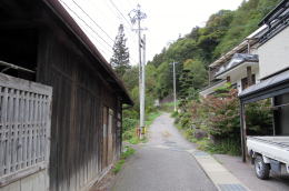
After getting over and down from Wadatoge-pass along the old Nakasendo, we would walk through Karasawa village to a crossroad away 400 meters northeastward from the busstop of Ushiyado. There the old Kaido branches off eastward from R142 into a narrow way. For it goes through Ooide village, it is called Ooide old way.
I walked it to Wada town feeling like a traveller having gotten over the pass.
The river running through on the eastside of the way is Yodagawa which goes in parallel with the way until front of Nagakubo town to turn away northward there. It is getting together with Chikumagawa river after going through Yodakubo and Maruko.
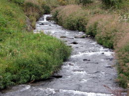
▲Yopdagawa running through Ooide
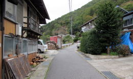
◆Ooide Village◆
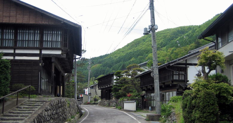
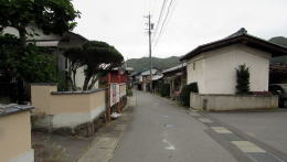
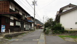
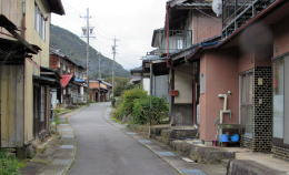
Now the width of Ooide old way is over two meters. The houses in the village were retreated from the way to enlarge its width. But some shapes of the old days have been remained there.
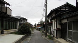
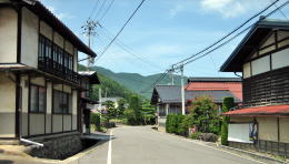
Each house site has kept the old shape of a narrow width and a long depth. The village is a rural one. But because it lying along Kaido, it has a classic town-shape in which many houses are getting together in a narrow area, in a urbanized shape, though it is surrounded by rural landscape.
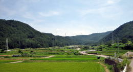
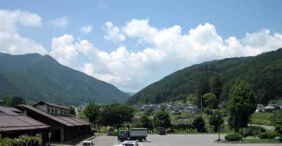
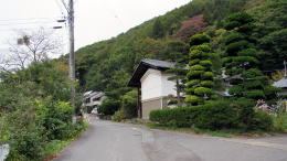
▲Agricultural fields surrounded by mountains
I'm fond of such a view along Kaido road very much. The village has connected with outer world through it. I feel the traditional richness of Japan.
My travel around Nakasendo in Shinano is aiming, so to speak, to look for such a view.
▲Urbanized view of farm village
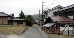
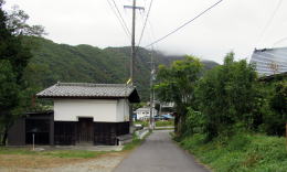
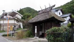
The picture below shows a busstop house looking like old one with a thatched roof. Some of waiting houses are of such a design. It must be expensive to build and conserve them. But it is suitable to the view along Nakasendo.
|