◆From Wadajuku Station to Fureai Hot-spring◆
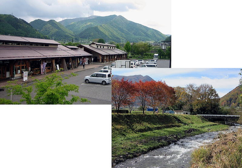
▲Wadajuku Station along R142 (upper) and Yodagawa river on the south side of it
Former picture was taken in early summer and latter in late autumn. On both the mountain behind is Ooideyama (altitude 1594m).
Nakasendo goes its right side from here.
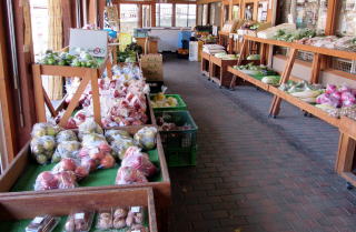
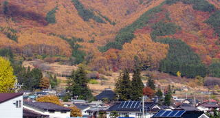
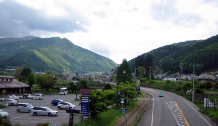 Ridge hill rushing near R142 behind the town Steep slopes of the ridge line creeping behind the town : Its altitude is over 1500m. The town spreading on mountain-foot is Wada 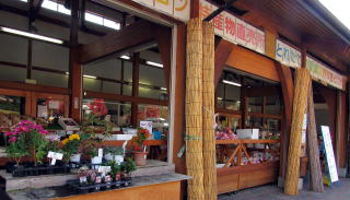 A shop selling the local products |
Driving a car on R142 southwestward, you would find Wadajuku Station on the west side of the road. |
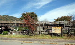 Wooden bridge corridor to Wada town from the station It is reinforced wit iron frames. 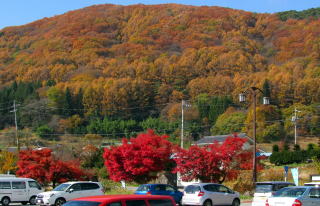 A mountain behind the parking space in late autumn |
|
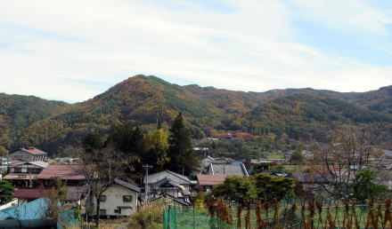 Ridge hill rushing near R142 behind the town 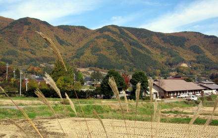 Steep slopes from ridge line creeping behind the town : Its altitude is over 1500m. The town spreading on mountain-foot is Wada |
|
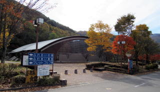
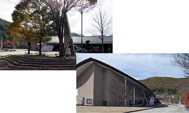 ▲Halls of Wada Community center in Nagawamachi Town |
|
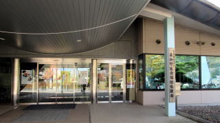 Its ntrance 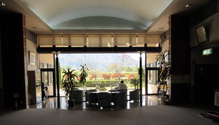 Lounge of its Lobby |
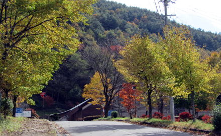
Wada Community center is a huge public space which keeps some meeting rooms and event-halls in it. We would take some information papers for tourists or cultural club activities for citizens or public events of the town. The wall of lounge is a wide glass window through which we get a beautiful view outside. Walking up along the way in front of the cummunity center, we find a big gymnasium behind it there are the mallet-golf courses and playground. They form a general sporting place. I would like to enjoy walking around the mountainfoot. the leaves of trees has changed into red or yelleow, shining under the sun of late autumn.
The house is on a hill high enough to look around the town. I enjoyed walking around the patter-golf courses to see wonderful views in the late autumn. I looked over the stage-town through trees beginning to fall their leaves. I identified the main hall's roof of Shinteiji temple beneath Shiroyama, i.e. the castle-hill. |
 Gymnasium over avenue 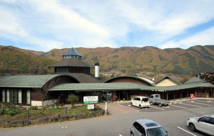 Fureainoyu of Wada hot spring with a unique roof 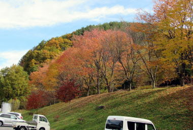 Over the parking space there are courses of patter-golf Beautiful leaves in late autumn |
|
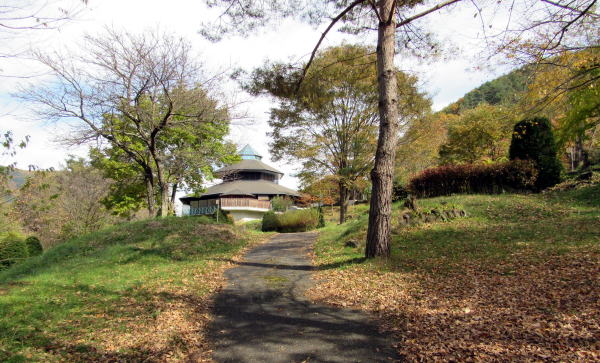
A view of the tower from the patter-golf courses