本文へスキップ
Wada, Nagawamachi Town, Nagano Pref.
 
 
From Oikawa to Hachiman Shrine


▲View of Oikawa river from bridge. Building on left bank is Museum of Obsidian and Forestry

  The scenes remaining the feature of old Nakasendo would be found along the way north of Oikawa river. Then lte's walk from Oikawa to Kitsunezaka through Hashiba, Shinden and Hara.
  By the way a old gentleman told me that Nakasendo were waving up and down severe like camei's back. ☞Article concerned


▲A view from Kitsunezaka, the slope of fox.
  The picture above shows the ridge line from Mizusawa-toge pass and Mt. Asama, covered with cloud, behind them.

  The road from Nagakubo or Yodakubo keeps raising up. Travellers from there had to walk up a long slope of Kitsunezaka and another long one before Wada town. They met a curving steep slope in front of Hachimanjinja shrine. But passing by the gate of Bosatsuji temple, they had to walk a down slope on the ravine of Oikawa. Then across the river they had to climeb up a steep slope again before Honjin.
  Thus somehow they climb up about 100 meters from Yodakubo basin. As after Meiji period Japan got into the wheel traffic age, they have made even the road. Therefore we can go on the flat way now. However we would get tired to walk from Kitsunezaka to Kanmachi.

■From Hashiba to Shinden■

◆Look for Old features◆

  Since Meiji period Nakasendo has gone under road-constructions many times and the its landform has changed largely.
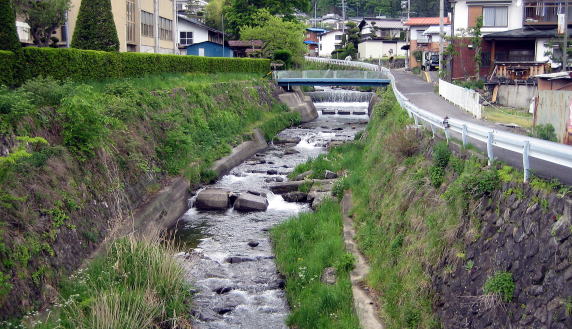
  The picture on the right side shows the present situation of Oikawa. Its banks are now covered with stone-walls steadily. Either its bottom is paved. But we can imagine that people had to walk down to the water and up at a bottom of the ravine in those days.
  We would undestand the degree of landform changing.


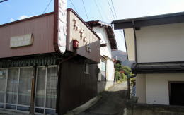
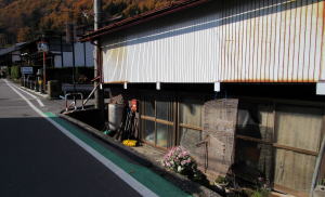
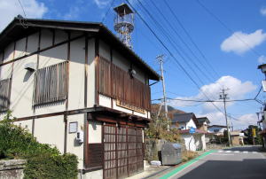
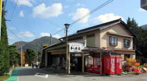
▲Ex-bread shop on the east side of Kaido

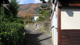
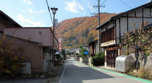
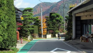
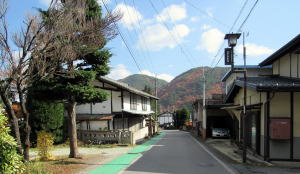
▲A View over a path is rural

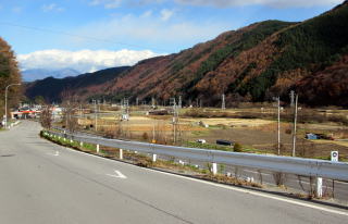
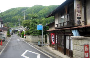
  As I mentioned before, the villages north of Hashiba was incorporated into the stage-town from 17th to 18th century. Then we find them more rural then the areas south of it. They has kept features of old farm villages.
  The pictures above show many farm fields are spreading behind the houses along the road.
  A brutal river Oikawa has formed an alluvial fan with many undulations. People have built some villages or towns and farm fields on such a slopeful land.
  I can't find the border between Hashiba and Shinden. But I know somehow that the area of Shinden reaches to Hachimanjinja shrine over where is Hara area.

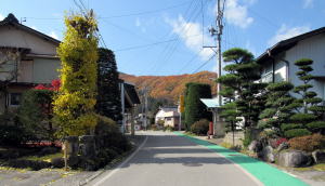
◆Gardens along Road◆

  We would find the number of houses decreasing to scatter over the approaching way of Bosatsuji temple. The view along the road becomes a farm village.
  Then we would enjoy looking at the Japanese style gardens of each house-site. Each family cares trees or plants to keep its garden beautiful.
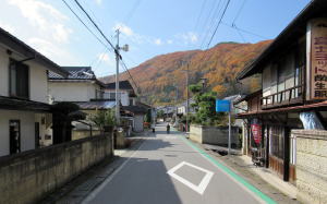
  From south to north, from Shinden to Kitsunezaka through Hara, the road keeps sloping down. A very long slope upward continues from Kitsunezaka to Wadatoge pass through the stage-town.
  The slope and the curves gives the walkers many interesting views by showing the distancing ― from near to far ― images. So to speak the depth of scenes.
  We would look forward to the next view after walking around the curve, being interested landscapes over there. We would goe on without geting tired.


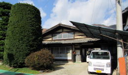
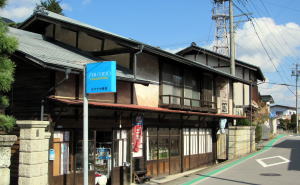
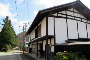
▲A house of Honmune architectural style

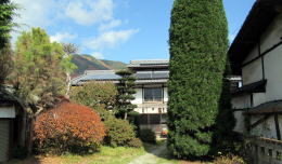
▲A beautiful garden neetly cared about

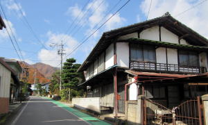
  The houses along the road have a wide front and a shallow depth, because they have a larger site in a rural area than in a core town.
  We can imagine the townscape in the old days by finding the houses in traditional style along th road.


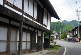
▲The font side of the traditional style

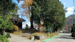
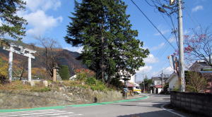
▲A view of the shrine hall behind trees
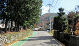
▲The road turns around left


▲The view shows us the depth of the ravine.

A remain of the shop. Its ground is lower than the road. Its surfece was raised by 60cm at least.

A traditional shop-house

Look back to Oikawa

A view from Hashiba toward Shimomachi

The office of civil fire fighters team. Its house was built in the traditional style.

The road is going down from here to Oikawa.

The shop of the Kojimas.

Fine view of gardens cared neetly continues

A beautiful garde with background of mountains in late autumn. In Japanese gardening skill such view is called Shakkei, i.e. the background-view borrowed.

A gentle curve gives the feeling of depth.

There are some traditional style houses along the road.

The road keeps sloping gently.

A house of Dashibari architecture

The road goes around in front of the sheine
 
Information

Walking Map around Wada

  • Geography around WadaTown
  • Central Area of Wada

Historic Map of Wada

  • Change since Age of Medieaval Castle-town
  • Tracing the town's developmant

Map for Wadatoge Trekking

  • Map for Pass-Walking
  • Information about Historic Sites

Walking around Wada

  • Around Wadajuku Station
  • Neighborhood

Situation near Oikawa in Edo period

  • Vertical Section of Kaido
  • It was so difficult to travel

History of Nakasendo

  • Institution of Kaido and Stge-Towns
  • Shogunate Regime and Kaido System

Architecture of Town -Houses

  • Town-Houses along Nakasendo
  • Learn to enjoy town- walking

木曾路の絵地図

  • 木曾路のすべての宿駅を表示した絵地図です。
  • 木曾路一帯の名所や観光施設の案内に役立ちます。

中山道の絵地図

  • 京と江戸を結ぶ中山道(木曾街道)の絵地図です。
  • 東海道や日光街道、甲州街道、北国街道との連絡を図解。
のんびり写真館

街歩き写真館

木曾路・奈良井の心に残る風景写真を特集

  • 街並み景観、風物
          フォトギャラリー
  • 木曾路・奈良井散策

奈良井まちあるき

小布施まちあるき

別所温泉まちあるき

塩田平をめぐる旅

◆ブログ風の記事案内を見る

|  previous page  |  next page  |