|
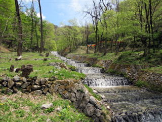
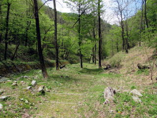
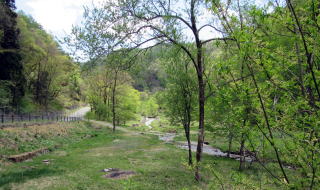
▲Walking along the stream is joyful.
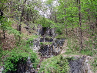
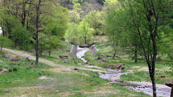
We would feel the brutlity of the nature at the headstrem zone on the steep ravine. But walking down around the stair-stream, we would feel easy to see the calm landscape. The threat of the nature is under controled by the stone-work.
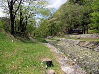
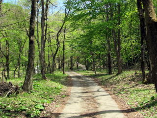
The upstream area of Ushibusegawa including the stair-stream is a park for walking along the water. They
has constructed some walkways, bridges and restplaces for visitors.
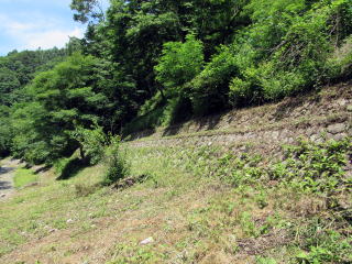
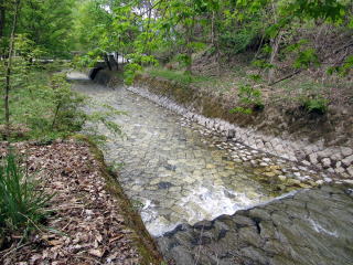
Because the ravin-sides and -bottom is covered with stone-pavement all over to prevent the slide or the severe transformation of land, it is possible for us to walk around there.
We can walk somewhere plain on stone-walled banks paved stream-sides. They have formed the artificial forest around the river to keep the ground on the ravine. They have constructed some climbing ways in the forest to the top of Hachibuseyama.
In the late autumn we would enjoy watching the red or yellow leaves of trees, maples and Konaras or so.
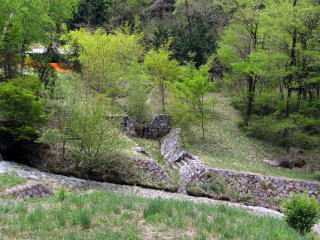
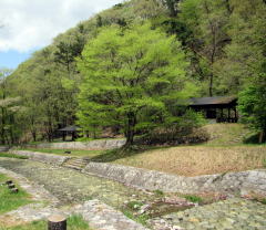
Toward downstream the stair-stream come to end in front of Rengakubashi bridge.
Around there are some open grass-fields and woods on the plainer land. Also a rest park of Ushibusegawa with a parking place and toilet.
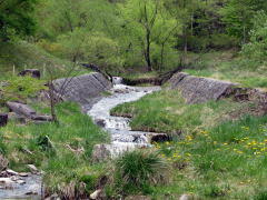
◆Waterway Devices◆
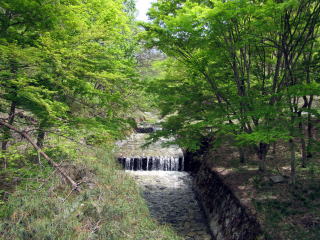
We would find some significant devices of the waterway of branches from the steep slope.
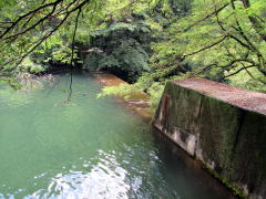
To prevent them from forming big falls, they have constructed several tiny dams covered with stone-walls to make short falls.
The confluence points are guarded with ston-walls against the collision impact of streams.
By such overlapped security devices they can managed to keep the fine landscape of the ravine.
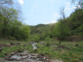
▲Inclinaion gets gentler after Rengakubashi
◆Field for Dabbling Water◆
The downstream side under Rengakubashi bridge is in the plainer ground. The water runs much more gently. Then the field is called Park for Dabbling Water. Little children play safely there.
But very small field only for thirty meters long. It would be interesting to play with a leaf-boat. Or to walk around slowly, watching mountain-forests.
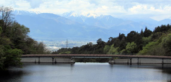
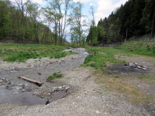
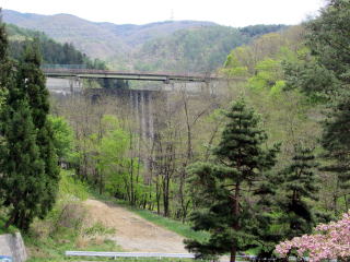
Walking down the road for about 500 meters, we find a lookout where we can look over the dam-lake.
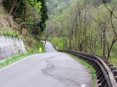
▲Road beneath Gofukuji temple to Rengakubashi
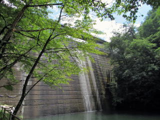
◆Dam for Erosion Control◆
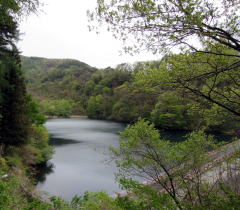
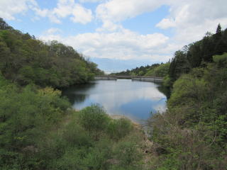
▲Lake by dam for erosion control
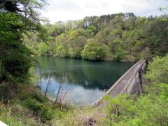
The lake is made by a large dam for erosion control. Its height may be about twenty meters. It is saving a huge volume of water in the lake.
The dam is to precipitate mud or sand and to let the surface water fall down. The view from the lookout-stand on the southside of the lake is very wonderful. They built it to appeal the landscape.
As the Ushibuse ravine is open to northwest, we look over the urb of Matsumoto and Alps mountains behind it. If it's fine, we can see Jonendake at cener over the lake Yarigatake, on its west side and Otenshodake on its east side.
The dam is always filled with water to let fall down water spilling over, i.e. just a volume flowing into it.
Just beneath it another small one is saving water to make a pool.
▲Way on dam for management
▲Another small dam beneath the large dam
|