|
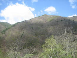
Naraigawa is the river which is made of many water-branches on the slope of the east side of the skyline continuing from Mt. Kiso-komagatake.
To trace the river from the upper reach, please drive a car along Gombe-kaido from Ina City. Run through Gombe Tunnel and Bansho Tunnel, then right after passing Habuchi Tunnel, turn right and you will find the way sticking on the steep mountain. You may drive a car, looking down at the bottom of the deep ravine.
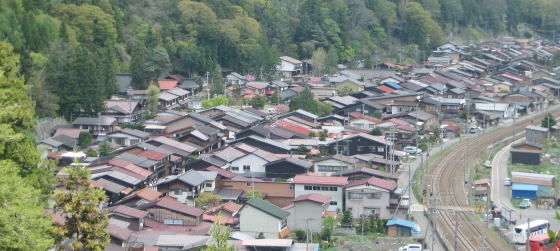
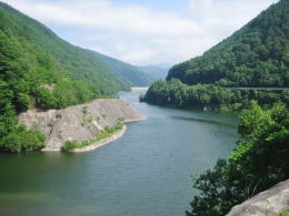
In 7 kilometers, you will find the lake of Narai Dam, thereafter in 3 kilometers you will arrive at Narai-juku town.
Narai Dam is a kind of embankment dam build with accumulated rocks. A thick bank of rocks blocks the water. The bank dams the mountain stream made of many waters on the ridge-slope, flowing down together into the deep ravine-bottom, and makes a lake.
The water concentrated in the dam-lake streams down little by little through the floodgate of the dam into Naraigawa river which flows northwards there.
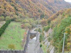
▲The floodgate of the dam
The river turns right in front of Narai town and changes its stream northeastwards. Thereafter flows down through the ravine, gathering the mountain streams one after another, and reachs Shiojiri.
Moreover the river, flowing down northwards, meets Azusagawa river and other rivers in Matsumoto Basin, as well makes a large confluence-river named Sai-gawa river. It continues to flow down through the ravine and meets Chikuma-gawa river in Nagano Basin.
Thereafter the river gets out Nagano Prefecture and into Niigata Prefecture, where it is called Shinaogawa river as it flows from Shinao province, flowing into the Japan Sea in the end.
Thus Naraigawa river is one of the origins of the longest river inJapan.
The way from Shiojiri to Narai is the trip tracing back Naraigawa.
|
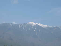
Mt. Kiso-komagatake prolongs its ridge-line from south to north.
|

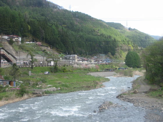
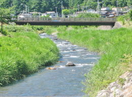
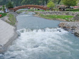 In Spring the volume of the river-water increases, gethering the snow water of mountains.