|
The steep ridges of mountains fringing Kiso canyon continue far long.
The raising mountains are surrounding, confronting, and blocking the road everywhere, then it must turn very often. There are a lot of tunnels along the road now.
In the old days the road, after leaving Shiojiri, was blocked by steep ridges of mountains in the northwest of Narai.
Then the travellers had to come over the ridge-line by walk, to arrive at Yabuhara town. They walked on the narrow mountain-path adhering the steep slopes of the mountain, bending right and left, up and down, in the deep forest.
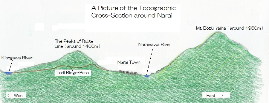
The place involving the path is called Torii Ridge-Pass and takes a part of the long skyline continuing, farther than 30 kilometers,
from Mt. Kiso-komagatake, which is standing in the right south.
Torii Ridge-Pass is standing by westward Narai town. The skyline including the ridge-pass consists the dividing of Naraigawa river and Kisogawa river.
The way creeping up the mountain runs through the dent of the skyline. In order to minimaize the altitude-differnce, the path was made on the small valley.
The ridge-line continuing from the highest peak of the Central Alps divides the water-system of Kisogawa and the one of Shinano-gawa, whose branch is Naraigawa. The waters on the west side of the ridge-line flow into Kisogawa and the ones on the east side flow into Naraigawa.
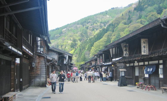
Narai town is on the east side of the ridge-line and on the river-bank of Nraigawa. The town shape is formed corresponding to the river.
Across the river eastward, we find the steep mountains whose peaks are drawing near 2,000 meters. among them the altitude of Mt. Bozu-dake is higher than 1960 meters.
Therefore Narai town is cought between two skaylines, in other words lying on the bottom of the ravine.
The town is the town in the highland and the altitude of the lowest place (near the station ) is 930 meters. Then the mountain-ridge in the east-front of the town is by 1,000 meters higher than it.
But compared with it, the slope on the side of Torii ridge is more gentle. The waters originating from the slope flow into Naraigawa across Narai town. The town lies on the river-terrace made by Naraigawa.
|
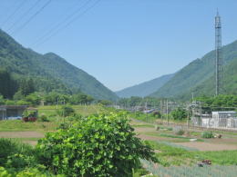
The northrn entrance of Kisoji near Niekawa. The road is to run through the ravine.
|

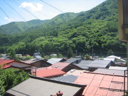
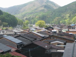 The ridge comes behind the town. The ridge-pass runs through the frontal valley. Narai Dam is in the left side of the ridge.
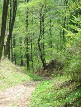 The ridge-pass in the deep forest. New leaves begin to grow in May.
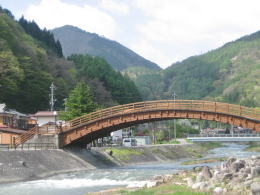 Naraigawa river. Here we find Torii Ridge-Pass behind the bridge called the Big Bridge of Kiso.
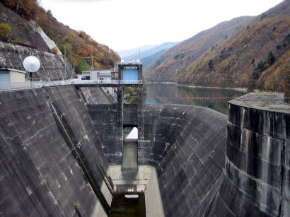