|
今回の堀めぐりは、まずはじめに松本神社前から城址公園の北西の入口から反時計回りに公園南(大名町通り側)入口まで歩くコースを取ります。
次に、同じ出発点から時計回りに、二の丸公園を通り抜けて太鼓門にいたるコースを歩き、そのあと太鼓門から堀沿いに北に進み、さらに深志橋と外堀方面に向かいます。
Article in English
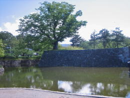
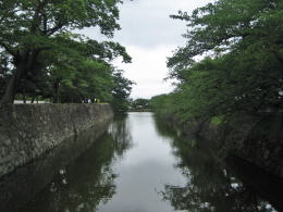
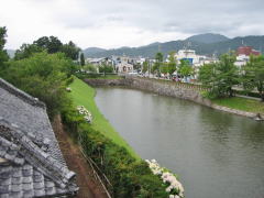
▲通りの右手は松本神社、左手は城
ここは幅50メートル以上ある三の丸だった
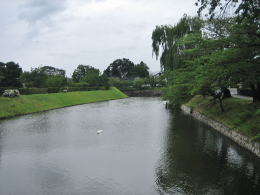
▼同じ場所から反対方向の眺め
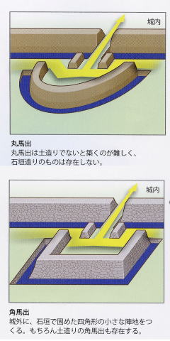
松本神社と城との間を走る道路は、江戸時代には三の丸で、その外側を外堀が取り巻いていました。開智一丁目と神社の間を東西に通る道路が外堀の縁でした。そこには丸馬出がありました。丸馬出とは、円弧状の迎撃用土塁です。
馬出の説明(マウスオンする)
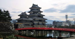
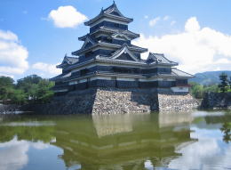
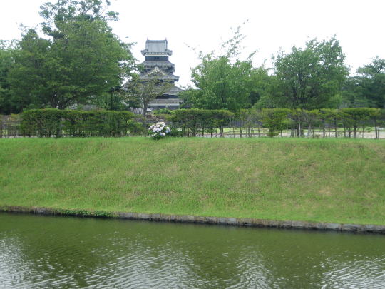
さて公園に入ると左手に本丸を囲む内堀があって、堀に突き出た馬出跡の横に本丸に渡る狸橋という木造の橋が架かっています。この辺りから本丸内堀は最大の幅になり、天主の眺めはさながら浮城の趣です。
黒門を過ぎて西に向かうと大手側の出入口にいたります。江戸時代には、二の丸を囲む堀はここからずっと西にも続いていましたが、今は埋め立てられて街区となっています。市当局は現在、この区画にかつての堀を復元しようと計画しています。
Article in English
では、出発点に戻って反対向きに堀沿いをめぐりましょう。
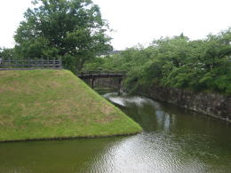
内堀に接する本丸の土塁は石垣で覆われていますが、堀を挟んで二の丸の土塁は「鉢巻き土居」になっています。鉢巻き土居とは、石垣積みは堀の水面の少し上までで、その上は土塁のままになっているものです。
本丸と二の丸の間の堀を眺めると、この2つの曲輪の水面からの高さがかなり違うことに気づきます。この高さの差は、そのまま防御能力の差を意味します。
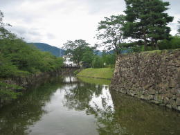
太鼓楼から東方を見た堀の様子
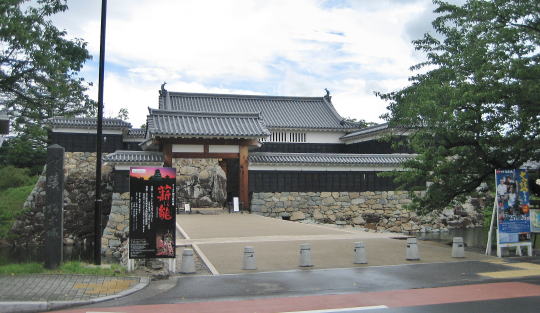
太鼓門前から西方の眺め
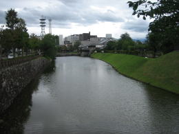
同じく東方の眺め
橋を渡って二の丸を通り抜けると太鼓門に行き着きます。二の丸御殿は、廃藩置県ののち筑摩県庁として利用されましたが、間もなく焼失しました。
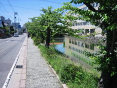
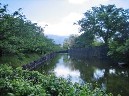
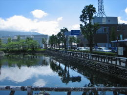
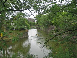
わずかに残る総堀(大外堀)
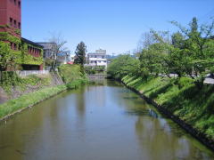
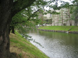
深志橋から総堀東方の眺め。堀の左手は三の丸だった。
丸の内街区を東に行くと深志橋に出会います。この橋の下に残る堀が、かつての外堀の名残です。 |