本文へスキップ
Ootsumago, Kisomachi town, Nagano Pref.
 
  Walking upward along the steep path from the inns, we would arrive at a tiny village.
  It is just the village in the sky. There are some old houses that has already closed guesthouse-business, with no sign of life, because of aging and depopulation.
  Photo : The old house of the Fujiwaras, the oldest private house in Nagano Pref.

 
A village in sky

  The stage-town at the highest altitude in Kiso area is Narai or Yabuhara. Both is at the place higher than 900 meters altitude. But we would not feel we are on the highland town there, as both is on the bottom of the ravine, though feel it cold there.
  However, we would feel we are on very high place in Ootsumago, where we are always looking down at the bottom of the deep ravine, though it is at 650 meters altitude. The landform gives us such an imagination.
  From the side of Yatsurugi-Jinja shrine of the village, we can see a beautiful summit of Kisokomagatake of Chuo Alps.
⇒Walking Map along Magome-Toge


▲The houses at the highest place in Ootsumago. The old house of Oomune architectural style and the old mud-walled warehouse behind the main house.

▲A summit of Kisokomagatake of Chuo Alps in mist from the side of shrine

■Beautifl Village in Depopulation■


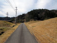
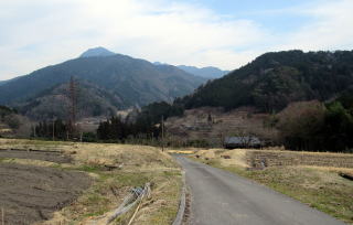
▲The narow way in the terraced fields

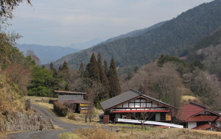
  In this turn I would visit a tiny village above the inns mentioned the previous page.

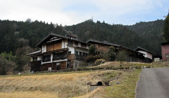
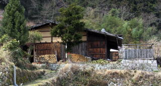
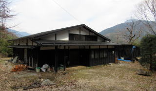
  In the village the oldest private house in Nagano Pref. has been kept. That is one -storeied house and has the roof covered with barks. Its architecural style is of Oomune-zukuri category but primitive one in the transitional period.


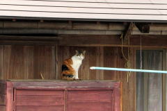
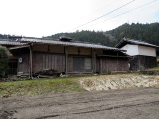
▲A cute cat of the Fujiwaras

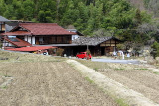
  It is disignated as the prefectural treasure and to be carefully conserved. Then the Fujiwaras lives in the next house, which has brown roof.
  When taking pictures of the houses, s tortoiseshell cat got out and greeted me. Another one was walking on a veranda.


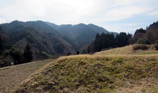
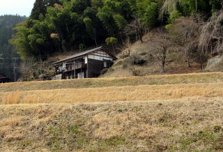
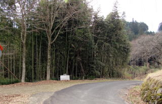
▲Long fields with narwow width along the altitude-lines

  The village is on the hill-back of the mountain-foot. Then the path to it is very steep. But in the area near around the houses and the fields the slope is so gentle, I think it was not so difficult to cultivate teraced fields. They has easily got irrigation water from springs on mountain-foot, as prespitation is rather rich here.
  The pioneer farmers came here from Tsumago or Magome village to develp farmlands and built up a village in the early stage of Edo period.
  The terraced paddy fields shape long and narrow along the altitude-lines, thus by enlarging the fields, they have made farming more effective. If you want to see the form of them, please click on the Google Map cited above to open it and change it into the air photograph.
  But now more fields are getting out of farming because of aging and depopulation.

  Owing to a women I met and interviewed, threa were many people running gesthouse business over twelve years ago but have already close it because of aging. The time to study some measures to maintain the village and the traditional houses has come.


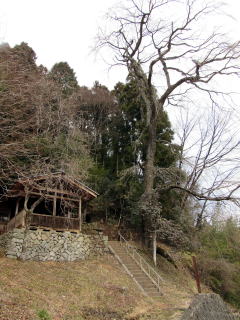
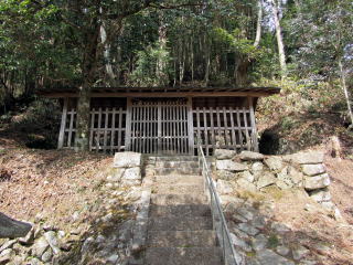
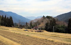
▲A huge cherry tree of Yatsurugi-Jinja

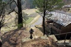
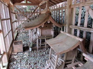
▲From the shirine-house


Alot of fields is now out of cultivation

The summit of Nagisodake above a mountain。

The oldest private house in Nagano Pref.

They live in the next house

The house next the shirine stand by the forest

A guesthouse in business

Walk around to look for old houses

A house has already closed guesthouse business

The old houses at the highest place

The shrine house sheltered with a cover-house

  I interviewed a woman in walking in front of Yatsurugi-Jinja shrine. She said, "There had been a pair of cherry trees beside the stone-stairs and one of them was cut down. In usual year they blossomed in the mid April and many people came from neighboring towns for the festival."
  I imagined those days when they crowded around the shrine.


The God house of Yasurugi-Jinja
 
中山道を学び体験しよう

妻籠宿街歩き絵地図

  • 妻籠宿全体の絵地図です。
  • 街歩きに役立ちます。

馬籠峠を歩く

  • 馬籠宿から妻籠宿まで馬籠峠を越える道を歩きます。
  • あなたも歩いてみませんか。

和田宿街歩き絵地図

  • 和田宿の中心部を詳しく案内。
  • 宿駅の前後の街歩きも案内。

和田宿の歴史絵地図

  • 中世城下町の時代からの変遷を説明。
  • 宿駅の発展の痕跡を訪ねる。

和田峠トレッキング案内絵地図

  • 和田峠めぐりするための絵地図。
  • 峠の史跡や名所をガイド。

和田宿近隣散策

  • 和田駅ステーションから
  • 和田宿温泉ふれあいの湯まで

江戸時代の追川付近の街道

  • 路面地形の断面図で解説。
  • こんなにも街道交通は大変だった。

中山道の歴史

  • 中山道に即して街道制度の歴史を説明。
  • 幕藩体制と街道・宿駅との関係を考える。

中山道の町家造りの説明

  • 中山道宿場の町家造りの仕組みの解説です。
  • 街並み探索がもっと楽しくなります。

木曾路の絵地図

  • 木曾路のすべての宿駅を表示した絵地図です。
  • 木曾路一帯の名所や観光施設の案内に役立ちます。

中山道の絵地図

  • 京と江戸を結ぶ中山道(木曾街道)の絵地図です。
  • 東海道や日光街道、甲州街道、北国街道との連絡を図解。
のんびり写真館

街歩き写真館

木曾路・奈良井の心に残る風景写真を特集

  • 街並み景観、風物
          フォトギャラリー
  • 木曾路・奈良井散策

奈良井まちあるき

小布施まちあるき

別所温泉まちあるき

塩田平をめぐる旅

◆ブログ風の記事案内を見る

|  前の記事に戻る  |  次の記事に進む  |