|
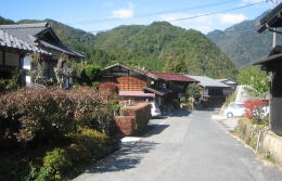
Walking further nortward from the popular and busy zone of Shimomachi, we would find a crossroad. The road westward, along which the houses stands side by side, leads us to the national road 256.
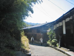
The one we have walked goes upward to the hill. There are a few houses along it. Rather rural. It is Nakasendo.
Road goes up and down.
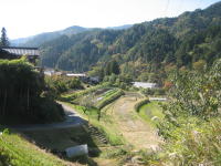
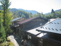
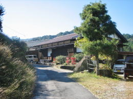
Town is surrounded by fields and woods.
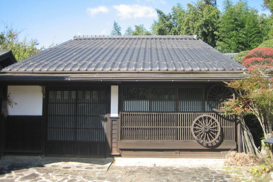
The landscape along Kaido is getting more rural, walking on it ahead. We would find a tiny mill-house being in harmony with the circumstance, on the east side of it.
Across the road Kosatu, the official bulletin bord is standing. The place was called Kosatuba. The bord showed the laws or orders of the clan or Shogunate government to ordinary people.
Some tee-houses and guesthouses are scattering around there. There are not a few sights worth seeing.
Some small ravines carved by brooks intervene the way. It goes up and down often.
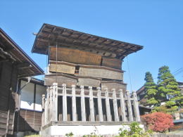
Walking over Jizobashi bridge, we find the ruin of the Bansho, the office checking passengers. Over there is a famous place called Koiiwa on a hill.
Koiiwa means the rock forming a big carp. A tiny shrine house is standing on the top of it. But the shape of it was broken and changed by a big earthquake in Meiji period.
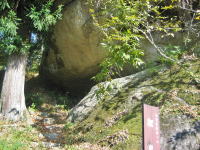
Path climbing on Koiiwa
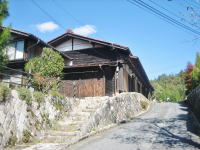
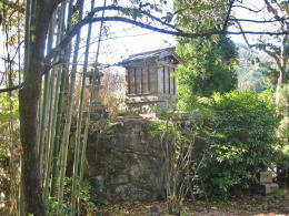
Serial town-houses under rock
Nakasendo is running around the hill. On its side are woods and bamboo-bush. Under it some town-houses are stangding side by side.
Walking on for a while we find a sign-bord tellig us there is a entrance to Tsumago.
The Kaido-road is fading away over the hill.
|
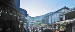
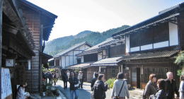
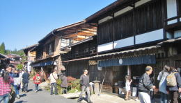
【3 pictures above】 Scenes very popular and busy
Road westward to National Road 256
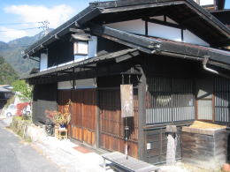
Tee and gallary shop in outskirt
Kosatsuba, place of offitial bulletin bord
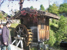 Tiny wtater-mill house. Wheel is drived by water.
Shrine on Koi-Iwa, a rock once having shaped huge carp
 竹林の下の家並み 竹林の下の家並み
 心が浮き立つような散策路 心が浮き立つような散策路 |